The formidable forces of volcanoes have molded an astonishing 80 percent of Earth’s surface. Merging dread and awe, these geological giants relay the tumultuous narrative of Earth’s past. As monoliths of natural splendor, they cast a spell with their tales of fiery wrath, demonstrating Earth’s vibrant core.
Around 1,500 volcanoes are deemed potentially active worldwide, with the United States harboring over 10 percent of this number. Predominantly located along the “Ring of Fire,” these behemoths profoundly alter our planet, marking a distinctive impact on Earth’s physical morphology and metaphysical aura.
The eruption of Mount Tabora in 1815 illustrates the vast power volcanoes wield, leading to significant devastation and the peculiar climatic episode dubbed “the year without a summer.” This event symbolizes the potent forces within volcanoes, driven by the delicate interplay between magma viscosity and gas entrapment, ultimately dictating the eruption’s nature.
Volcanoes offer insights into Earth’s inner dynamics, forewarning through minor quakes, noticeable bulging, and increased gas outputs. These indicators serve as a crucial reminder of the necessity to remain alert and respectful toward the immense powers beneath the Earth’s crust. Despite advances in volcanic surveillance and undivided media attention, the eruption rates persist, reflecting the immutable cadence of Earth’s geological heartbeat.
Key Takeaways
- Volcanoes have profoundly shaped 80 percent of Earth’s surface, underlining their importance in our planet’s geological history.
- The United States contributes to a significant proportion of the world’s potentially active volcanoes, highlighting the widespread impact of volcanic activity.
- The “Ring of Fire” is a hotbed for volcanic action, with 75 percent of the world’s active volcanoes encircling the Pacific Ocean.
- The type of eruption and magma viscosity are key factors that determine the nature of volcanic outbursts.
- Recognizing a volcano’s warning signs can be lifesaving, showcasing the value of education and monitoring in volcanic regions.
- Advancements in monitoring and reporting do not equate to increased eruption frequency, as volcanic activity remains consistent over time.
The Mythical Legacy of Mount Chimaera
An aura of mystique surrounds Mount Chimaera, or Yanartaş, presenting a convergence of mythology, volcanic history, and scientific revelations. Situated in the venerable region of Lycia, the perennial flames of this mount have bewildered humanity throughout millennia, mirroring ancient creature lore while revealing the geological epochs. These forever blazes, directly linked to natural methane emissions, stand as rare natural spectacles, persisting throughout eons.
The enigma enshrouding Mount Chimaera stretches to the annals of history, with scholars like Pliny the Elder noting the unceasing fire, deemed supernatural or divine, associated with the mythological Chimera. This zone, speckled with geological wonders, evidences the combustive narrative of the earth’s crust, rooted in a deep volcanic history.
Pliny the Elder documented Mount Chimaera as an everlasting flame, an enduring spectacle from Lycia, captivating both scholars and tourists over millennia.
- Yanartaş’s eternal ignitions, fed by methane, are a testament to the geological forces at play.
- Volcanic myths like Mount Chimaera intertwine human culture with natural phenomena, shaping lore and legends.
- Explorations of rare locales, notably ancient Lycia, spotlight the imperative of conserving our volcanic heritage.
Later probes and academic debates have clarified the interaction between Mount Chimaera’s geological seepages and historical narratives, alongside their implications for local biomes. This integration of scientific analysis with mythical landscapes has crucially expanded our insight.
| Feature | Description | Significance |
|---|---|---|
| Mount Chimaera flames | Natural flames in Lycia, fueled by methane emissions | Historical and mythological importance, evidence of natural gas seepages |
| Zoroastrian “Pillars of Fire” | Eternal flames worshipped in religious practices | Cultural impact of eternal flames, linking geology with belief systems |
| Manggarmas flame | Continuously burning flame in Indonesia since the 15th century | Demonstrates the longevity and cultural continuity of natural flames in rituals |
| Modern memorials | Flames sustained for commemorative purposes using propane or natural gas | Continued cultural significance of flames, now underpinned by modern technology |
The synergy of nature, mythology, and volcanic dynamics at locales like Yanartaş doesn’t merely augment our geological comprehension but further incites wonder and respect for these eternal natural phenomena.
Understanding Volcanic Eruptions and Lava Flow
The formidable nature of volcanic eruptions and the subsequent lava flow epitomizes nature’s might. This understanding is crucial not merely for the safety of those residing near potentially active volcanoes but also for the progression of scientific knowledge. The ensuing discourse explores the complexities of volcanic activities, ranging from their origins to the journey of magma and the diversity of lava forms produced.
What Causes Volcanoes to Erupt?
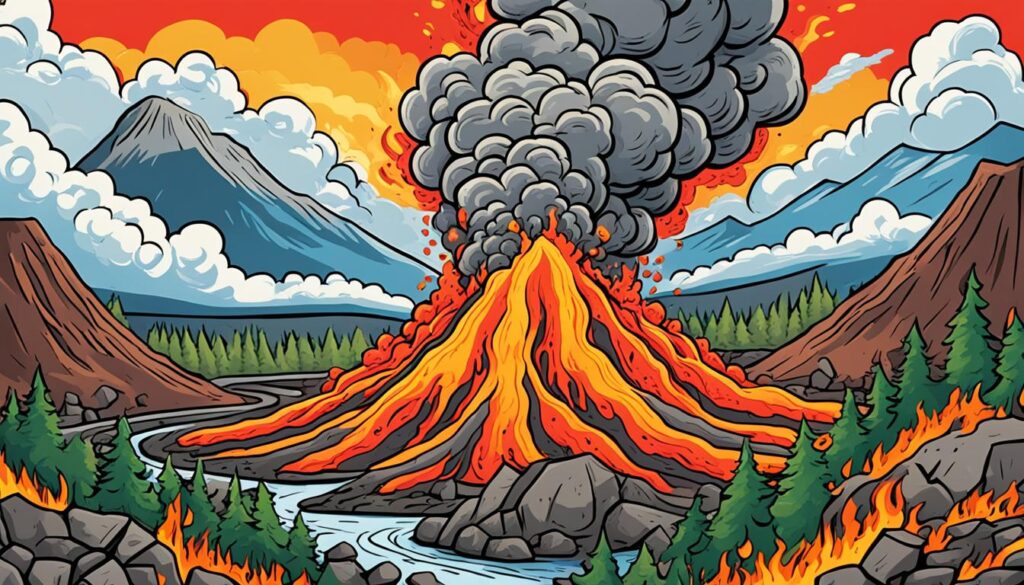
Volcanic eruptions represent profound manifestations of Earth’s geological force. These phenomena generally transpire when increased volcanic gas emissions from magma—subterranean molten rock—accumulate adequate pressure. Such pressure can fracture the overlying rock, facilitating the magma’s ascent through a network of fissures to the surface. Tectonic plate movements frequently precipitate these vulnerabilities, serving as conduits for volcanic events.
The Journey of Magma: From Chamber to Surface
The magma’s ascent commences in volcanic chambers deep within Earth’s mantle. Throughout its rise, the magma might face varied levels of resistance, determined by the surrounding rock’s density and tectonic plates’ geodynamics. The magma’s composition—spanning basaltic to rhyolitic types—further influences its ease of travel towards the Earth’s crust. Under optimal conditions, this magma breaches the surface, evolving into lava flow and irrevocably altering terrains with its incandescent course.
Different Forms of Lava and Their Characteristics
The lava cools and hardens into diverse forms upon eruption, from the smooth, ropey pahoehoe to the jaggedly blockaded ‘a’a. These variations reflect the lava’s temperature and viscosity; hotter and less viscous lava extends further, adopting a smoother facade. Certain volcanic eruptions result in distinct formations like shield volcanoes, notable for their expansive, domed shape created through successive lava layers or stratovolcanoes, which impress with their steep, conical elevations. Examining lava’s diverse characteristics sheds light on volcanic eruptions’ explosive nature and the substantial energy driving their formation.
Understanding these phenomena intensifies with statistical data, highlighting volcanic activity’s magnitude and extent. For example, the United States houses 161 potentially active volcanoes, a substantial number of which are part of the Pacific Ocean’s “Ring of Fire.” The risks stemming from eruptions are significant, with pyroclastic flows reaching remarkable velocities and volcanic ash posing threats to health and infrastructure. Preparing for and mitigating volcanic eruptions’ impacts necessitates an in-depth comprehension of these forces, accompanied by proactive safety strategies.
Volcanoes: A Window into Earth’s Interior
Volcano geology is key to unlocking the mysteries deep within Earth’s interior. Earth’s extensive terrain owes its diverse landscape to volcanic activity, an unrivaled force in natural phenomena. Over 80 percent of the Earth’s terrestrial formation directly results from these geological wonders. A brief overview of the global distribution of approximately 1,500 potentially active volcanoes showcases their significant environmental impact.
In the United States, there exists a notable concentration of these formidable structures; over 10 percent of the world’s volcanoes are located here. This consists of 161 dormant and active volcanoes. Yet, most find their allegiance with the Pacific Ring of Fire, comprising 75 percent of the globe’s active volcanic sites. This region spans an impressive 25,000 miles. The various manifestations of volcanic activity, ranging from the quiet rise of island basalts to the devastating explosion of Mount Tabora in 1815, highlight the dual nature of volcanoes.
Volcanic formations have provided valuable insights into our planet’s core processes. Advanced volcanic research has illuminated the complexities beneath the Earth’s surface. It has elucidated details such as the unique composition of basalts and the isotopic interplay between helium-3 and helium-4. These findings allow us to visualize the intricate dynamics of our planet’s inner workings.
Recent explorations have uncovered two chemically distinct regions beneath the Pacific Ocean, sections of the Atlantic, and Africa. These discoveries hint at a sophisticated system of plumes and reservoirs within the mantle. For geologists, these revelations are not mere scientific data. They represent narratives of the Earth, chronicling its history over millennia.
The study of volcanic activity reveals the Earth’s dynamic nature through variability in isotopic signatures across lavas from a single hotspot track. This emphasizes the rich, complex history of our planet’s evolution. Daily, at least a dozen volcanoes become windows into the Earth’s enduring dynamism, offering fresh insights and forecasting future geological landscapes.
| Statistic | Detail |
|---|---|
| Earth’s Surface Formation by Volcanoes | More than 80% |
| Potentially Active Volcanoes Worldwide | Approximately 1,500 |
| Active Volcanoes in the United States | Over 10% (161 total) |
| Active Volcanoes Concentrated in the Ring of Fire | 75% |
| The deadliest Recorded Volcanic Eruption | Mount Tabora, 1815 (~10,000 deaths) |
| Daily Volcanic Eruptions Worldwide | At least a dozen |
| Distinct Regions Beneath Earth’s Surface | Chemically distinct Pacific and Atlantic regions |
Volcano Monitoring: Predicting the Next Eruption
Occupying a critical nexus within the modern scientific investigation, volcano monitoring is indispensable in forecasting volcanic activity, thereby incrementing public safety parameters. It amalgamates state-of-the-art technologies and detailed analytic practices, embracing various sophisticated approaches to refine volcano eruption predictions. We will now explore the methodologies enabling experts to forecast terrestrial infernos more accurately.
The Role of Seismology in Volcano Monitoring
The field of seismology, having undergone considerable advancements, significantly enhances comprehension of volcanic eruption precursors. It entails the monitoring of inconspicuous seismographic signals that often herald volcanic disturbances. Detailed analysis of these seismic indicators permits researchers to delineate magma migration paths subterraneously, thereby facilitating the identification of potential eruption sites with notable accuracy.
Satellite Imagery and Thermal Detection Techniques
Introducing satellite imagery and thermal detection methodologies has revolutionized volcano surveillance paradigms. Specifically, the deployment of Moderate Resolution Imaging Spectroradiometers (MODIS) on NASA’s Terra and Aqua satellites over 16 years has proved pivotal. This instrumentation has been key in tracking thermal radiance from volcanoes and identifying critical thermal deviations. Notably, a consistent pre-eruptive temperature elevation of approximately 1 degree Celsius has been observed across diverse volcanic structures, delineating a trend meriting further exploration.
In-depth examination of thermal and deformation datasets has yielded substantial insights into volcanic activity, significantly contributing to a nuanced comprehension of volcanic mechanisms and internal dynamics.
A study of paramount significance spearheaded by Lundgren incorporated interferometric synthetic aperture radar (InSAR) data to discern significant deformation over time at Argentina’s Domuyo Volcano. This investigative endeavor uncovered a period of pronounced inflation, indicating the resurgence of volcanic intensity.
Gas Emissions: Signs of Upcoming Volcanic Activity
The evaluation of gas emissions is pivotal in forecasting volcanic events. Alterations in the emission spectra could suggest magmatic shifts presaging eruptions. Analysis of volcanic gases like sulfur dioxide and carbon dioxide yields essential insights into the volcanic core, predicting imminent activity.
Furthermore, statistical methodologies affirm that integrating historical eruption data of individual volcanoes considerably improves predictive outcomes. Including past volcanic explosivity index (VEI) data enhances forecast accuracy by 10 percentage points. Incorporating additional parameters increases this precision by up to 30 percentage points, potentially achieving a VEI prediction accuracy apex of nearly 80%.
The seminal contributions of entities such as the U.S. Geological Survey (USGS), which oversees nearly 70 active and potential volcanoes within the United States, underscore the instrumental nature of monitoring initiatives. This effort is bolstered by the National Volcano Early Warning and Monitoring System (NVEWS), which was sanctioned by Congress in 2019. It aims to deliver preemptive alerts and scientific evaluations to diminish the perils of volcanic incidents.
The pertinence of volcano monitoring and eruption foresight is paramount. As these methodologies undergo refinement and integration, our capacity for early warning and protective measures against volcanic phenomena escalates—a pursuit crucial for safeguarding lives, infrastructural integrity, and the security of communities near these formidable natural spectacles.
The Fiery Phenomena of Kawah Ijen’s Blue Flames
Indonesia’s Kawah Ijen volcano is a spectacle unrivaled globally. Majestic blue flames dance over its surface, a magnificent display from high-temperature sulfur combustion. This fusion occurs as volcanic gases encounter atmospheric oxygen, revealing profound geological forces beneath us.
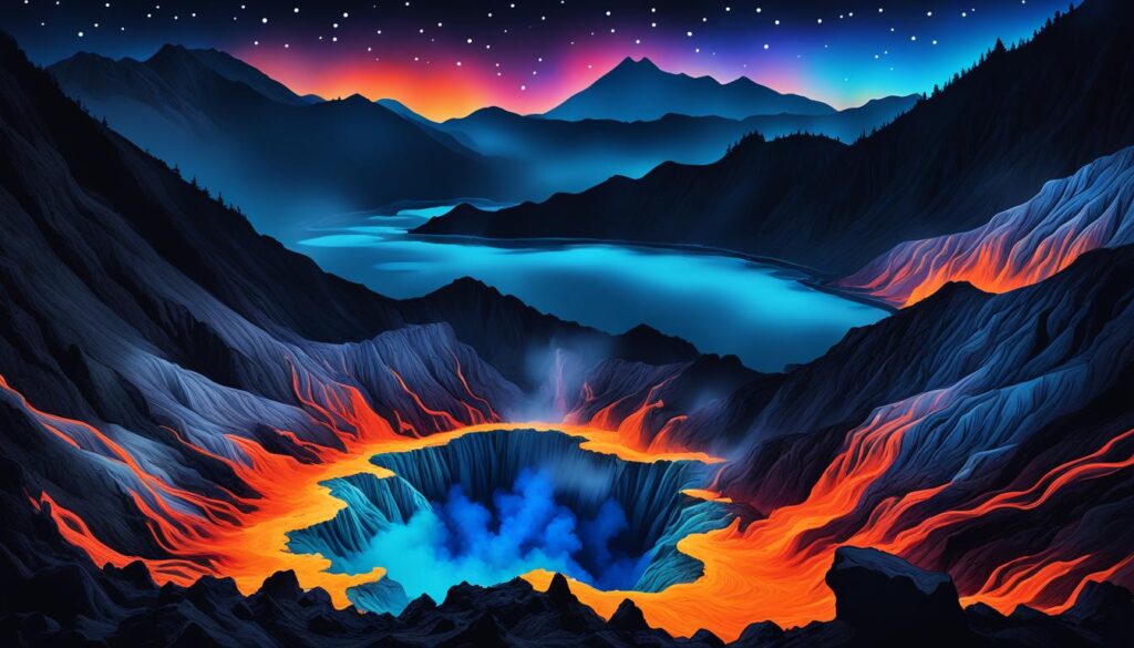
These cerulean flames, far from mere optical illusions, achieve temperatures exceeding 360°C and can ascend to heights of 16 feet. Primarily observable post-sunset, the Kawah Ijen trek transforms into a nocturnal expedition requiring a two-hour ascent to the rim and a 45-minute descent into the volcano’s core.
The allure of the blue flames arises from a severe and sterile environment. Sulfur miners in Kawah Ijen labor in precarious conditions, frequently unprotected from toxic fumes, risking severe respiratory damage. These miners epitomize resilience, hauling 80 to 100 kilos of sulfurous rock across twelve-hour days for minimal compensation, underscoring a grim reality beneath the spectacle.
While Kawah Ijen is renowned for its nocturnal blue fire, such phenomena are not unique. For example, at Yellowstone National Park, forest fires can cause sulfur to melt and combust, resulting in similar visual effects. However, the manifestation at Kawah Ijen remains unparalleled in accessibility and intensity, embodying the profound duality of beauty and peril inherent in volcanic eruptions.
Olivier Grunewald’s striking photography has cast a global spotlight on Kawah Ijen’s blue flames, capturing over thirty nights the stark yet mesmerizing conditions sulfur miners face. These images serve as a poignant reflection on the human toll exacted by nature’s awe-inspiring phenomena.
The Geology of Volcanoes: Tectonic Plates and Hotspots
The study of volcanic geology reveals a complex world where tectonic plates’ movement and interaction are crucial in volcanoes’ genesis. These geological marvels predominantly arise in rift zones, where the earth’s crust is subjected to extension and thinning. Equally significant are the hotspots, seemingly stationary yet potent in their influence on volcanic formation.
The Birth of a Volcano: Rift Zones and Hotspots
The placement of volcanoes on Earth is not arbitrary but deeply connected to tectonic plates. As these colossal earth lithosphere segments traverse hotspots—areas of intense mantle heat—volcanic chains emerge. The varied National Park Service site landscapes exemplify the crust type’s impact on hotspot volcanic activity: Hawaii’s thin oceanic crust versus Yellowstone’s thick continental crust.
The Hawaiian Islands epitomize the Pacific Plate’s movement over a hotspot, showcasing a transition from new, elevated islands in the southeast to older, smaller ones in the northwest. Yellowstone National Park presents a contrasting hotspot phenomenon, with its Grand Canyon of the Yellowstone River cutting through ancient rhyolite lava flows.
The Ring of Fire: Earth’s Most Volcanically Active Area
The ring of fire encircling the Pacific Ocean is a horseshoe-shaped zone teeming with active volcanoes. It marks where Earth’s tectonic plates converge, leading to subduction zones prone to volcanic activity. This area underscores the perpetual tension and synergy between tectonic movements and volcanism, reflecting our planet’s dynamic surface processes.
The west-southwest drift of the North American Plate over the Yellowstone Hotspot has led to extensive basalt lava formations in regions like Oregon’s John Day Fossil Beds National Monument and volcanic rock distributions throughout southern Idaho. These sites narrate the geological evolution of the area, arousing curiosity about the formidable processes crafting such landscapes.
Numerous U.S. National Park sites along hotspot tracks unveil distinctive geological and geographical narratives. These stories, rooted in the interaction between hotspots and tectonic plates, enhance our grasp of volcanic geology. They invite deeper reflection on Earth’s ongoing sculptural processes.
The Various Types of Volcanoes Around the World
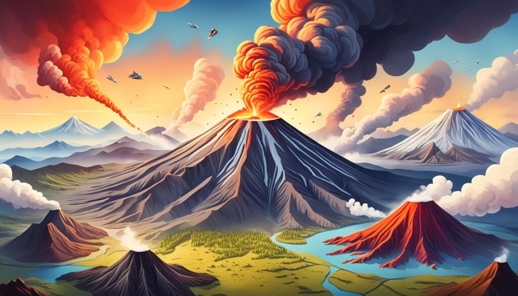
Delving into the array of volcano types uncovers the intricate geological framework of our planet, emphasizing the profundity of global volcanoes. Such categorization transcends mere scholarly classification, yielding profound insights into volcanic hazards and behaviors. Each type of volcano contributes a distinct chapter to Earth’s geological saga, ranging from astonishing volcano facts to the sophisticated processes governing their eruptions.
Volcanoes are categorized by their eruption patterns and morphological features, mirroring the interplay between magma properties and geological forces. The distinction between monogenetic and polygenetic volcanoes provides insights into their potential longevity and landscape-altering impacts. Monogenetic volcanoes, exemplified by cinder cones, maars, tuff rings, and domes, typically experience a singular eruptive episode. Conversely, polygenetic volcanoes—composite, shield, and calderas—endure multiple eruptions over millennia, sculpting the earth through prolonged geological activity.
The categorization extends to constructional and excavational volcanoes. The former, such as cinder cones and shield volcanoes, emerge as topographical prominences, layering up through successive eruptions. Excavation types, like maars and calderas, emerge through the dramatic aftermath of volatile eruptions or the collapse of emptied magma chambers.
Fissure volcanoes and monogenetic volcanic fields present a classification challenge; while the fields result from numerous eruptions, each vent typically hosts a singular act. This grouping showcases a mosaic of individual eruptions, illustrating the complexity and diversity inherent in these geological structures.
For a more quantifiable understanding, consider these statistics that articulate the magnitude of these geological behemoths:
| Volcano Type | Description | Notable Examples | Height | Significant Event |
|---|---|---|---|---|
| Cinder Cone | Singular eruption constructional volcano | Parícutin (Mexico) | Up to 1,200 feet | Grew to its full height over nine years (1943-1952) |
| Composite Volcano | Layered structure from multiple eruptions | Mount Fuji (Japan), Mount Cotopaxi (Ecuador), Mount St. Helens (USA) | Up to 8,000 feet above the base | Mount St. Helens’ 1980 eruption |
| Shield Volcano | Large, gently sloping mountain from fluid lava flows | Mauna Loa (Hawaii) | 1,500 to 2,000 feet (continental); Mauna Loa stands 13,677 feet above sea level | Mauna Loa is the largest active volcano on Earth |
| Maar | Shallow, crater-like depressions from violent eruptions | N/A | Negative relief below the land surface | Often associated with explosive eruptions |
| Caldera | Large crater formed by collapse or explosion | N/A | Varies widely | Formed from catastrophic eruption or collapse |
| Lava Plateau | Extensive flat plains from basaltic flows | Iceland, Washington (USA), Oregon (USA) | N/A | Formed from vast, fluid lava flows |
| Volcanic Dome | Mound-shaped protrusions | Novarupta Dome (Alaska), Mont Pelée (Martinique) | Up to 800 feet across, 200 feet high | The 1902 Mont Pelée eruption destroyed St. Pierre, with nearly 30,000 casualties |
Each addition to the lexicon of types of volcanoes profoundly enriches our understanding of the volcano type. These entities demonstrate Earth’s capacity for creation and destruction and its evolutionary prowess. As we examine the array of global volcanoes, we gain an appreciation for the dynamic planet we inhabit—a narrative that perpetually unfolds, mesmerizing both the scientific community and the public at large with its complexity and majesty.
Volcanic Hazards: Understanding and Mitigation
Volcanic phenomena, awe-inspiring yet terrifying, significantly impact human settlements, aviation, and ecological systems. The United States, hosting an unparalleled number of active volcanoes, faces an omnipresent threat from these geological behemoths. Policymakers, stakeholders, and environmental guardians must strategize proactively against volcanic hazards, including lahars, pyroclastic flows, and volcanic ash emissions.
Lahars and Pyroclastic Flows: Devastating Volcanic Threats
Lahars, volcanic ash, rock, and water mudflows devastate landscapes as they cascade down slopes. They frequently follow river paths, obliterating everything in their wake. Pyroclastic flows present a lethal amalgamation of hot gases, ash, and debris, descending mountains at astounding velocities, far outpacing any human attempt at escape. Communities residing in the vicinities of active volcanoes must possess a comprehensive understanding of these perils to enhance volcano safety.
Volcanic Ash and Its Impact on Health and Environment
Volcanic ash, a fine ejecta from eruptions, poses extensive threats to human health, aviation, and agronomy. Documented encounters between aircraft and airborne volcanic ash surpassed a hundred instances between 1973 and 2003. The eruption of Redoubt Volcano in 1989, generating a pervasive ash cloud, inflicted a financial toll exceeding $80 million on the aviation sector, accentuating the imperative for thorough volcanic hazard assessment.
Volcanic Hazard Assessments and Community Safety Plans
Comprehensive volcanic hazard assessments are crucial for protecting individuals and infrastructure. A study identifying thirteen volcanoes in the Cascade Range as formidable threats underscores a commitment to public readiness and safety. Through diligent monitoring, authorities can disseminate early alerts, facilitating expedited evacuations and reducing the adverse effects on susceptible regions.
| Statistic | Data |
|---|---|
| Active volcanoes in the U.S. | 169 |
| Currently erupting U.S. volcanoes | 3 (Mount St. Helens, Kilauea, Augustine) |
| U.S. volcanoes posing significant threats | 13 within the Cascade Range |
| Airborne ash encounters by aircraft (1973-2003) | A minimum of 105 documented |
| Redoubt Volcano 1989 eruption costs | Over $80 million (1989 dollars) |
Given these statistics, the formulation of detailed community safety strategies is essential. Initiatives must include establishing evacuation procedures, disseminating volcano safety knowledge, and providing resources to aid recovery post-volcano. The ultimate aim is cultivating resilience among those near these formidable natural forces, ensuring their safety amid Earth’s power’s most unpredictable and ferocious expressions.
Active vs Dormant Volcanoes: What’s the Difference?
The distinction between active and dormant volcanoes is pivotal in grasping the volcanic lifecycle. With 1,350 potentially active volcanoes dotting the planet, it highlights the imperative for continuously surveilling these capricious landmarks. This discourse aims to illuminate the present volcanic activity conditions and how volcanic reawakening merges the boundaries of dormant entities and their vibrant, eruptive counterparts.
The Lifecycle of a Volcano: Dormancy and Reawakening
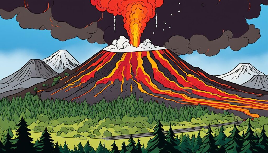
Active volcanoes, epitomized by Mount Etna in Sicily, are distinguished by their recent eruptions or ongoing activity, historically within the past 10,000 years. Contrarily, dormant volcanoes such as Four-Peaked Mountain in Alaska, despite their quiescent state, retain the capacity to expel volcanic materials forthwith. The United States boasts 165 Holocene volcanoes, indicating a spectrum of potential volcanic actions. Conversely, Indonesia, heralding 55 active volcanoes since 1960, showcases a notable concentration of volcanic dynamism.
The term dormant implies a misleading sense of permanence. This dormant state is susceptible to abrupt volcanic reawakening, often with scant precursory signs. Mount St. Helens’s historical dormancy, spanning approximately 7,000 years before its devastating eruption in 1980, serves as a stark reminder of this unpredictability. Since about 500 million individuals reside near active volcanoes globally, there is a critical need for relentless monitoring to preempt volcanic awakenings.
Historical Accounts of Unexpected Volcanic Eruptions
Exploring the annals of volcanic eruptions history, we uncover that abrupt transitions to turmoil mark the sagas of many dormant volcanoes. For instance, Mount Pinatubo in the Philippines remained inert until its formidable eruption in 1991, awakening after centuries of dormancy to astonish onlookers. Although dormant for extensive epochs, volcanic terrains such as Yellowstone, Long Valley, and the Valles caldera in the U.S. continue manifesting geophysical disturbances, alerting researchers. These historical episodes contribute profoundly to our comprehension and reverence for the dormant volcanic presences that pepper our globe, enhancing awareness of their concealed yet ever-present peril.
The study of volcanic eruptions underscores nature’s capacity to transform dormant terrains into active landscapes with minimal forewarning, underscoring the imperative for acute observation and public enlightenment. By accruing insights from antecedent eruptions, we are better positioned to coexist with active and dormant volcanoes, adopting a stance of caution and admiration for their grandeur and potential hazard.
Volcanic Rock and Formations: Testimonies of Fire
The world is adorned with remarkable geological features emanating from the Earth’s core’s profound heat and pressure. Volcanic rocks and volcanic formations serve as indelible records of these intense phenomena, offering invaluable insights to geologists and volcanologists.
Our planet, host to approximately 1,350 potentially active land volcanoes, presents an array of forms and dimensions in these natural spectacles. Examining these formations, a narrative of the past unfolds, demonstrating how magma’s journey and solidification have sculpted the Earth’s landscape.
Composite volcanoes are among the most notable geological behemoths, with Mount Rainier in Washington State, piercing the sky at over 14,000 feet, and the perpetually erupting Kīlauea in Hawai‘i.
Volcanic formations articulate the Earth’s dynamic essence and capacity for rebirth through the cataclysmic release of magma. Explore the fascinating statistics that chart these geological marvels worldwide and within the United States.
| Location | Formation Type | Height/Size | Notable Activity/Feature |
|---|---|---|---|
| Worldwide | Cinder Cones | Up to 1,000 feet | Thousands exist in Western North America |
| United States | Lava Domes | 800 feet across, 200 feet high | Novarupta Dome in Alaska |
| Hawai’i | Shield Volcanoes | Varies | Mauna Loa and Kīlauea |
| Iceland | Dike Intrusion | 0.6 miles deep | Grindavík deformation, signs of rising magma |
| Bermuda | Mantle Plume | Not Applicable | Evidence of unique magma types |
The volcanic rocks fashioned by the myriad volcano types and magma dynamics embellish our landscape with breathtaking sites and stand as a testament to the formidable forces shaping our planet. Ongoing research into each volcanic rock and the altered terrains near Grindavík or Bermuda’s enigmatic subterranean extents continues to decrypt our Earth’s geologic saga.
The Most Famous Volcanoes in History
Throughout history, famous volcanoes such as Mount Vesuvius, Krakatoa, and Mt. St. Helens have left indelible marks on humanity’s timeline. These natural behemoths are not merely landmarks in volcanic history. They illustrate pivotal moments in our comprehension of historical eruptions. The significance of these sites extends beyond their geographic prominence, contributing to our understanding of volcanic activity’s profound impact on the volcanic eruption timeline.
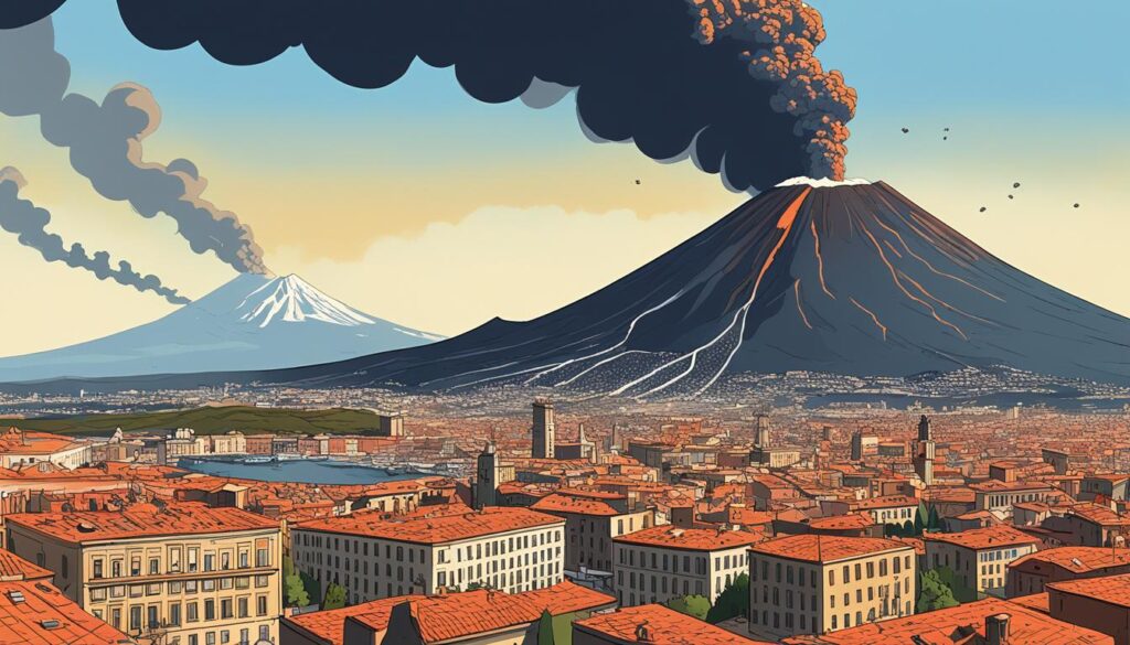
Mount Vesuvius and the Destruction of Pompeii
The 79 AD eruption of Mount Vesuvius represents a seminal moment in history, capturing Pompeii’s tragic demise. This event secured Vesuvius’s place in history and offered a haunting glimpse into the devastating interaction between human civilization and volcanic history.
Krakatoa’s 1883 Eruption: A Global Impact
The 1883 Krakatoa explosion stands apart in the history of famous volcanoes for its unparalleled force and consequential climatic shifts worldwide. Remarkably, the explosion’s auditory impact was so profound that it resonated thousands of miles from its epicenter, underscoring its place in global consciousness.
Mt. St. Helens: The Volcanic Event That Shocked America
The 1980 eruption of Mt. St. Helens marks a significant chapter in recent history. It shocked the United States with its sheer magnitude. The event dramatically altered the landscape and catalyzed volcanic advancements, emphasizing its monumental significance.
The detonations of the volcano sounded like distant surf beats from Ugashik, more than sixty miles away.
These renowned eruptions underscore nature’s capacity for destruction. They offer stark evidence of the environmental impact, from skies darkened to habitats altered and extensive ecological damage. The legacy of these famous volcanoes endures in humanity’s collective memory, serving as a cautionary tale of nature’s power.
| Statistic | Impact |
|---|---|
| Darkness at 60 miles distance | Pitch dark skies due to ash and rock ejecta |
| Explosive activity was heard 200 miles away | Sound waves traveling vast distances |
| Ash-covered feed leads to reindeer migration | Loss of young wildlife due to altered feeding grounds |
| Rain of mud balls the size of walnuts | Rapid condensation causing unusual precipitation |
| Affected wildlife due to ash ingestion | Entrails of swans and geese filled with ash |
| Impact on hibernating animals | Presumed death of small game in initial blasts |
| Regional gloom from ash fallout | The country appeared covered by a somber veil |
| Penetration of ash mud through the fabric | Sticky mud can penetrate woven materials |
These stark statistics underscore nature’s formidable might, emphasizing the critical need for vigilance in monitoring and studying these powerful Earth forces. Understanding famous volcanoes is indispensable in enhancing our readiness for future volcanic events.
Volcanic Gases: Silent Killers and Climate Influencers
Examining volcanic gases illuminates their paradoxical existence as both imperceptible assassins and profound architects of climate change. Sulfur dioxide, carbon dioxide, and water vapor are the primary catalysts among these gases. They threaten ecological stability and human and animal health. Large-scale emissions of these gases alter the atmospheric composition, instigating climate anomalies that range from cooling phenomena to intensifying the greenhouse effect.
The menace of volcanic emissions extends beyond their tangible dangers, like lava flows and ash clouds. These silent killers can converge stealthily or disperse over extensive territories. The climatic ramifications of these emissions materialize gradually, contributing to the advanced discourse and scientific inquiry surrounding climate change.
| Gas Type | Primary Dangers | Climate Impact |
|---|---|---|
| Sulfur Dioxide (SO2) | Respiratory issues, irritation of the eyes and throat | Aerosol formation, short-term cooling |
| Carbon Dioxide (CO2) | Asphyxiation in high concentrations | Greenhouse gas, long-term warming |
| Water Vapor (H2O) | Generally safe in typical conditions | Enhances the greenhouse effect, alters precipitation patterns |
The covert and pervasive essence of volcanic gas emissions necessitates unwavering observation. This vigilance aims at curtailing hazards and acclimatizing to their unavoidable influence on global climate patterns. Comprehending these phenomena is pivotal for advancing scientific discourse and crucial for preserving human life and the integrity of ecological systems.
The Science of Volcanology: Research and Advancements
Volcanology represents a dynamic, continually evolving discipline. It is propelled by scientists possessing substantial technical acumen and advanced academic credentials. Mastery of diverse volcanic research methodologies proves indispensable, facilitating safer human coexistence with these formidable geological entities.
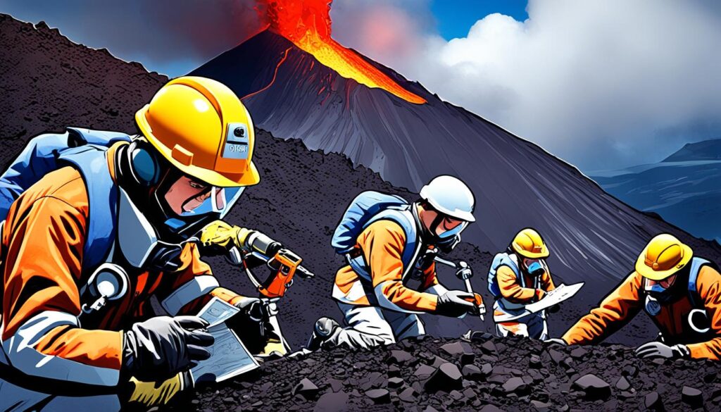
Modern Techniques in Studying Volcanic Activity
Technological innovation has transformed the study of volcanology, particularly concerning eruption forecasting. Integrating sophisticated instruments—seismographs, gas analyzers—and aerial reconnaissance tools, drones, and satellites alike has enabled unprecedented monitoring accuracy. Cutting-edge approaches to volcanic investigation permit the acquisition and analysis of pivotal data, thus permitting the implementation of preventative measures well ahead of potential disasters.
Volcano Simulation: Predicting Eruptions in the Lab
Laboratory settings are fundamental for dissecting volcanic eruption mechanisms. Simulating the intricate conditions governing volcanic behavior allows researchers to scrutinize eruption dynamics and forecast forthcoming events. Such experimental endeavors are pivotal, refining eruption prediction formulas and broadening our comprehension of volcanic functionality.
The Future of Volcanic Research and Safety Measures
The primacy of educational proliferation within volcanology is irrefutable. Various academic institutions offer programs for aspiring volcanologists, focusing on foundational natural science instruction. These academic trajectories frequently lead toward specialized postgraduate research, with a significant proportion of practitioners obtaining either MS or PhD qualifications. An interdisciplinary approach is essential, incorporating specialists from manifold sectors, including emergency management and communication, and aiming to amplify communal resilience and readiness.
| Profession | Role in Volcanology | Education Level |
|---|---|---|
| Physical Volcanologist | Study of eruption processes and deposits | MS/PhD |
| Geophysicist (Seismology) | Monitoring seismic activity related to volcanoes | MS/PhD |
| Geodesist | Measuring earth changes due to volcanic activity | Graduate Education |
| Geochemist | Analysis of volcanic products | Graduate Education |
| Remote Sensing Specialist | Identifying volcanic hazards from afar | MS/PhD |
Collaborative endeavors among specialists across diverse fields converge towards a singular objective: the progression of volcanic science and the formulation of comprehensive safety strategies for global community protection. These professionals’ relentless commitment and cumulative expertise continuously drive advancements in volcanological research, ensuring humanity is better prepared to face the uncertainties of volcanic phenomena.
Exploring the Beauty and Danger of Volcanoes
The profound impact of volcano exploration on terrestrial geography underscores its significance. Indeed, over 80 percent of the Earth’s surface owes its form to volcanic activities, highlighting the pivotal role these features play in the planet’s geodynamics. The global landscape is punctuated by approximately 1,500 potentially active volcanoes, presenting enthusiasts and scientists with many phenomena to examine and appreciate.
More than 10 percent of these potentially active behemoths in the United States, including the prestigious Hawaii Volcanoes National Park, underscores the region’s geological vibrancy. Here, Kilauea stands as the nation’s most vibrant volcano, its relentless eruptions a source of fascination and scientific insight. The dual aspects of majesty and peril, epitomized by the catastrophic 1815 eruption of Mount Tambora, which claimed approximately 10,000 lives, serve as a solemn reminder of volcanic power.
Adherence to volcano safety tips is indispensable for those brave souls tracing the fiery breaths of the Earth. The daily spectacle of at least a dozen eruptions necessitates a comprehensive grasp of pre-eruption indicators, including minor seismic activities and increased gaseous outputs. Awareness and respect for the lethal velocity of pyroclastic flows, capable of surpassing 450 miles per hour, are fundamental for a safe encounter with volcano beauty.
Remarkable sites like Alaska’s Katmai National Park‘s Valley of Ten Thousand Smokes and Arizona’s nascent Sunset Crater exhibit the profound influence of volcanic force and ecological tenacity. These parks’ geological frameworks, molded by erstwhile eruptions, allow us to delve into the annals of Earth’s history. They invite us to envision past terrains and anticipate those yet to emerge from future volcanic events.
The cumulative efforts of intrepid explorers and scrupulous scholars enhance our collective appreciation and understanding of these primordial forces. Whether driven by an attraction to the volcano beauty that marks the Ring of Fire or motivated by an academic intrigue in the geological features, pursuing volcano exploration necessitates a profound respect for their mercurial and formidable nature. For those who find themselves at the precipice of a crater, the ground beneath bears testament to the ceaseless sculptural processes shaping our planet.
Final Thoughts
Our odyssey through Earth’s torrid mountains underscores a delicate equilibrium between creation and destruction. The genesis of Crater Lake from Mount Mazama’s cataclysmic eruption circa 7,550 years past, alongside Lassen Peak’s activities between 1914 and 1917, exemplifies how these marvels sculpt our ecology and topography. These volcanic eruptions serve as vivid exhibitions of Earth’s dynamic interior life.
The quintessence of our inquiry into volcano topographies and their scientific dissection mandates adherence to stringent volcano safety precautions and comprehensive volcanic risk assessments. Manifested through Kilauea’s continuous spectacle in Hawai’i Volcanoes National Park until 2018 and encapsulated by the ten historically eruptive volcanoes in Katmai National Park, these instances compel perpetual vigilance and reverence for these ever-changing terrains.
Maintaining current knowledge on volcano news transcends scholastic interest, representing a pivotal component of communal security and cognizance. Insights from antediluvian eruptions, such as the event over 54,000 years ago at Capulin Volcano and the monumental eruption 1.25 million years prior at Valdez Caldera, propel our initiatives in community protection. Observing these conduits to Earth’s nucleus, we ought to strive for balance with these formidable forces, appreciating their majesty whilst preparing for their capriciousness.
FAQ
What are the main types of volcanoes?
How does the location of tectonic plates affect volcano formation?
Why do volcanoes erupt?
What is the role of seismology in volcano monitoring?
What are lahars and pyroclastic flows?
How can volcanic gas emissions indicate upcoming volcanic activity?
What is the difference between active and dormant volcanoes?
What impact can volcanic ash have on the environment and society?
How can communities prepare for volcanic hazards?
What advances in volcano research are helping to improve eruption predictions?
Source Links
- https://www.nationalgeographic.com/environment/article/volcanoes
- https://en.wikipedia.org/wiki/Geothermal_areas_in_Lassen_Volcanic_National_Park
- https://blogs.egu.eu/divisions/ts/
- https://www.ancient-origins.net/news-general/eternal-flames-geologists-investigate-ancient-myths-know-more-about-modern-fuel-003090
- https://www.ready.gov/volcanoes
- https://www.usgs.gov/programs/VHP/about-volcanoes
- https://www.sciencedaily.com/releases/2015/11/151124170253.htm
- https://www.nasa.gov/centers-and-facilities/jpl/nasa-satellites-detect-signs-of-volcanic-unrest-years-before-eruptions/
- https://appliedvolc.biomedcentral.com/articles/10.1186/s13617-022-00115-0
- https://www.usgs.gov/faqs/how-can-we-tell-when-a-volcano-will-erupt
- https://www.thoughtco.com/how-blue-lava-works-607589
- https://www.smithsonianmag.com/science-nature/why-does-indonesian-volcano-burn-bright-blue-180949576/
- https://www.discovery.com/exploration/indonesia-s-kawah-ijen-volcano-burns-a-brilliant-blue
- https://www.nps.gov/subjects/geology/plate-tectonics-hotspots.htm
- https://www.nps.gov/subjects/volcanoes/types-of-volcanoes.htm
- https://pubs.usgs.gov/gip/volc/types.html
- https://www.doi.gov/ocl/volcanic-hazards
- https://en.wikipedia.org/wiki/Active_volcano
- https://www.worldatlas.com/articles/when-is-a-volcano-considered-active-dormant-or-extinct.html
- https://www.usgs.gov/observatories/yvo/news/active-dormant-and-extinct-clarifying-confusing-classifications
- https://www.pbs.org/newshour/science/a-geologist-explains-why-iceland-may-soon-see-a-volcanic-eruption
- https://www.nationalgeographic.com/science/article/bermuda-volcano-hybrid-unlike-others-on-earth-new-way-to-make-volcanoes
- https://www.nps.gov/subjects/volcanoes/prehistoric-and-historic-eruptions.htm
- https://www.usgs.gov/observatories/cascades-volcano-observatory/information-about-volcanologists
- https://www.nps.gov/subjects/volcanoes/volcanoes-volcanic-landforms.htm
- https://www.usgs.gov/faqs/it-dangerous-work-volcanoes-what-precautions-do-scientists-take
- https://www.nps.gov/subjects/volcanoes/volcanic-eruptions.htm
