Blank map of France with regions and labeled map
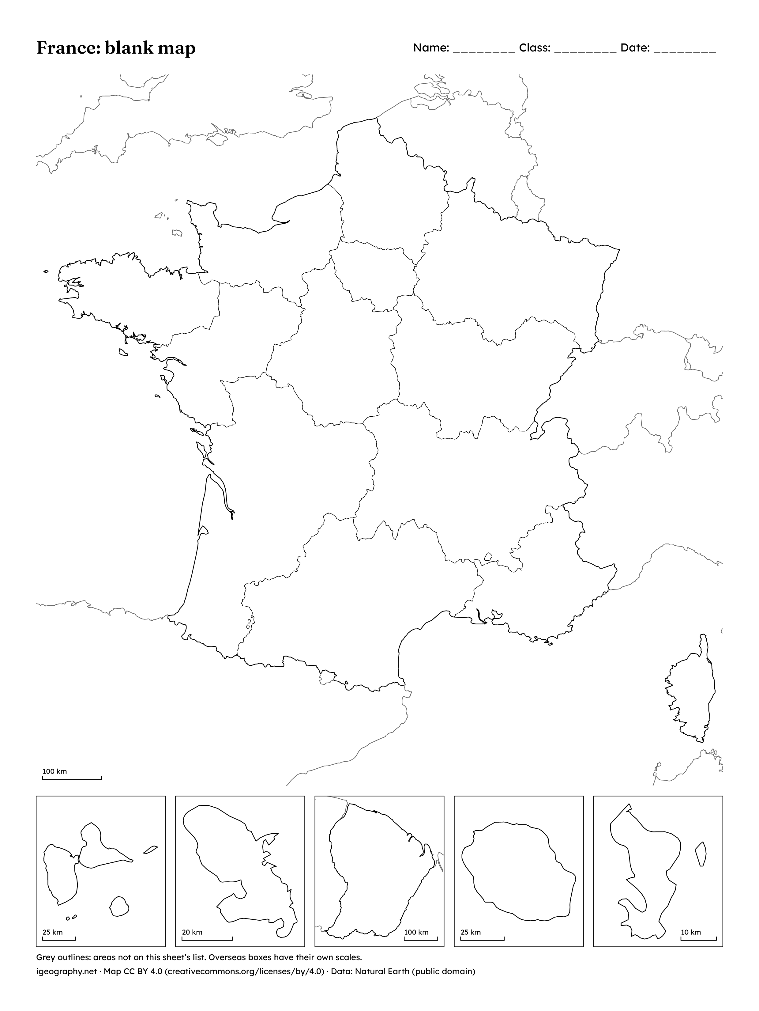
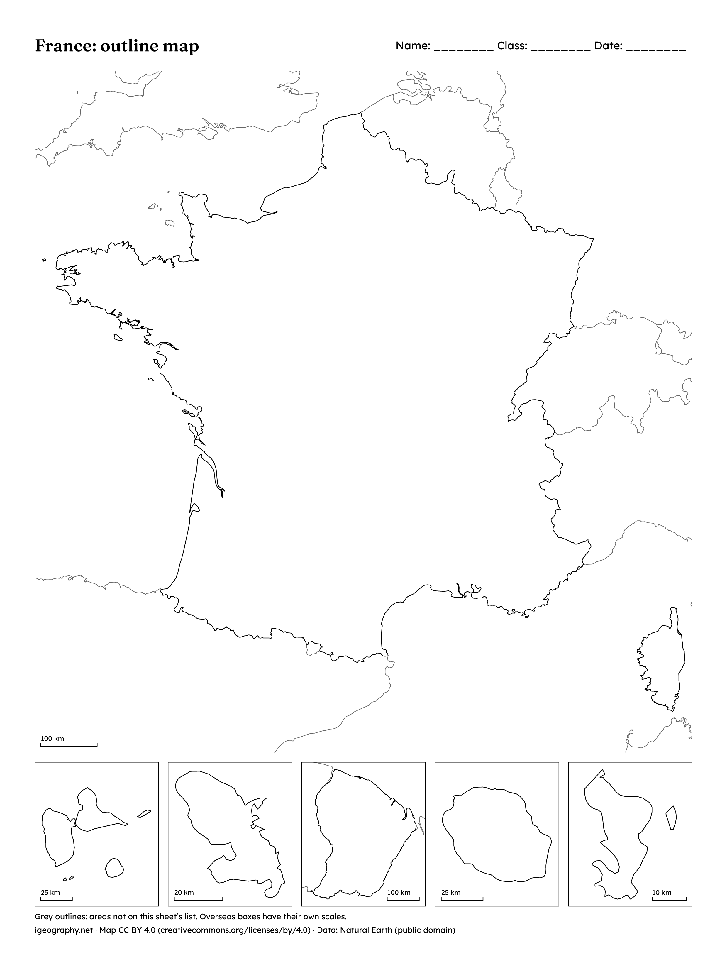
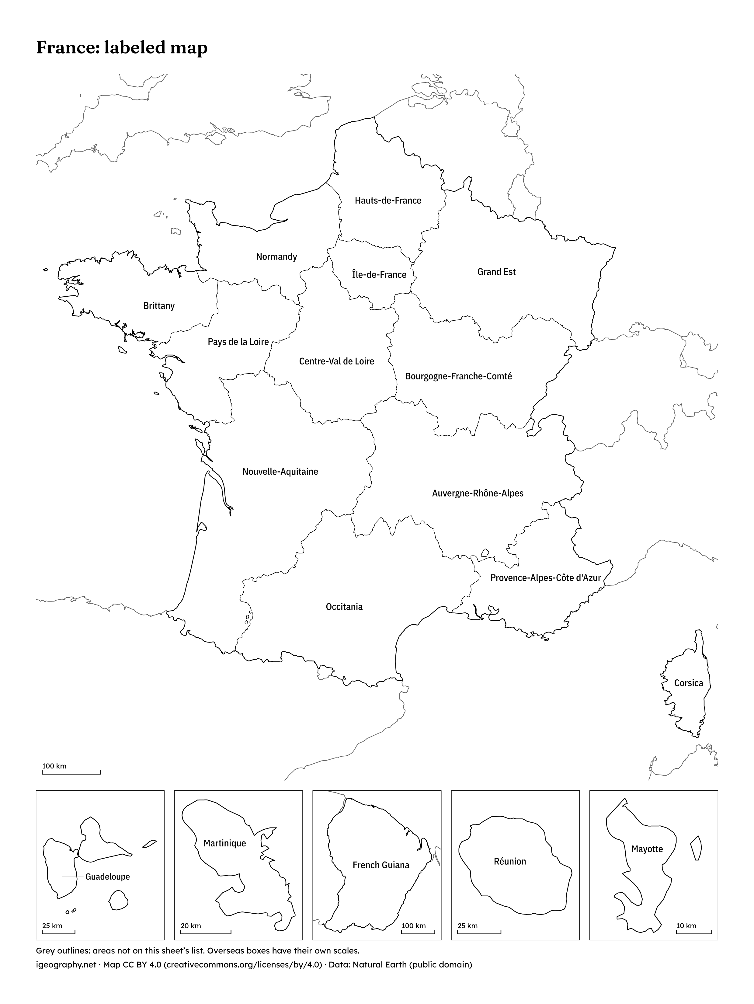
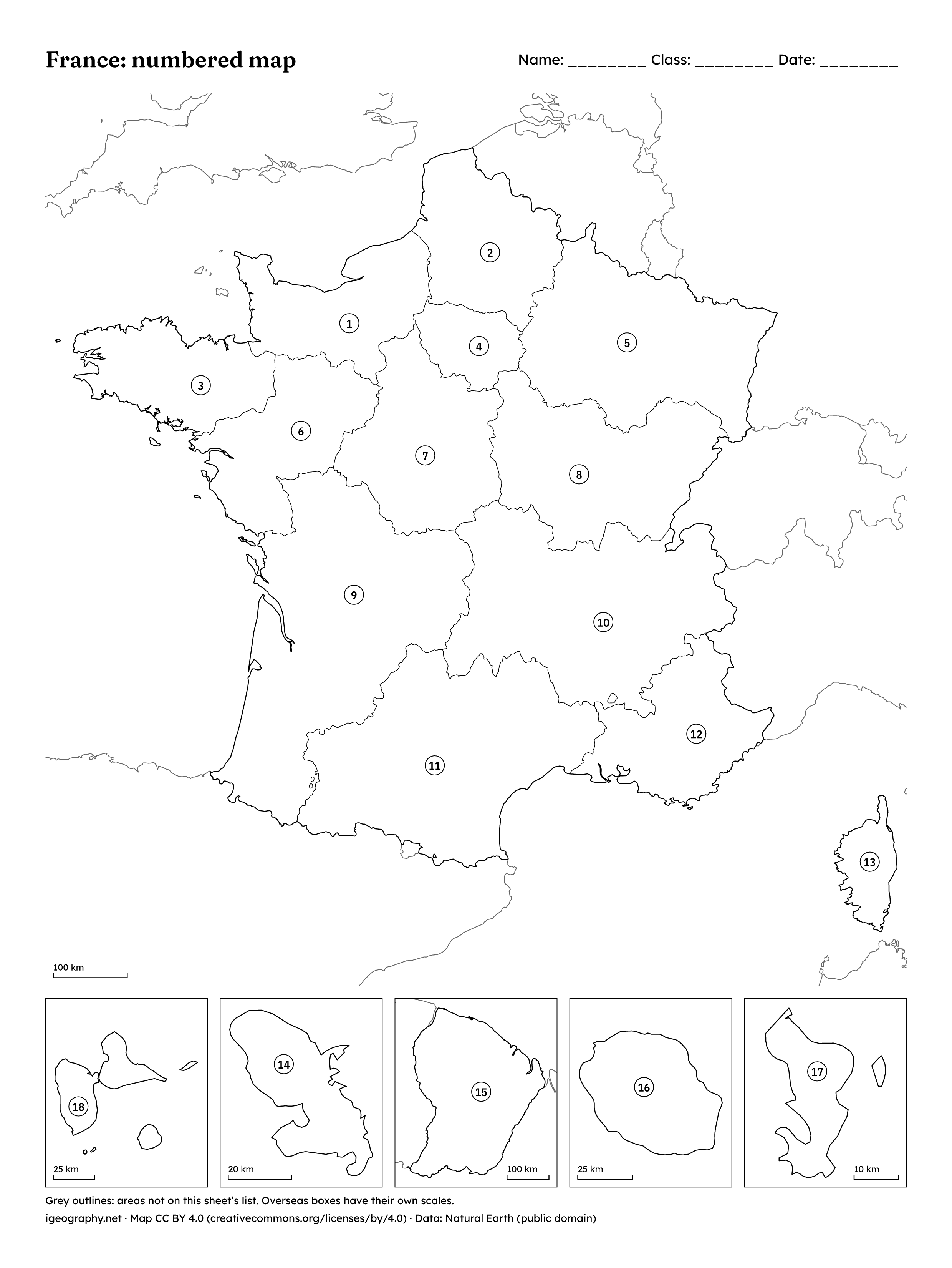
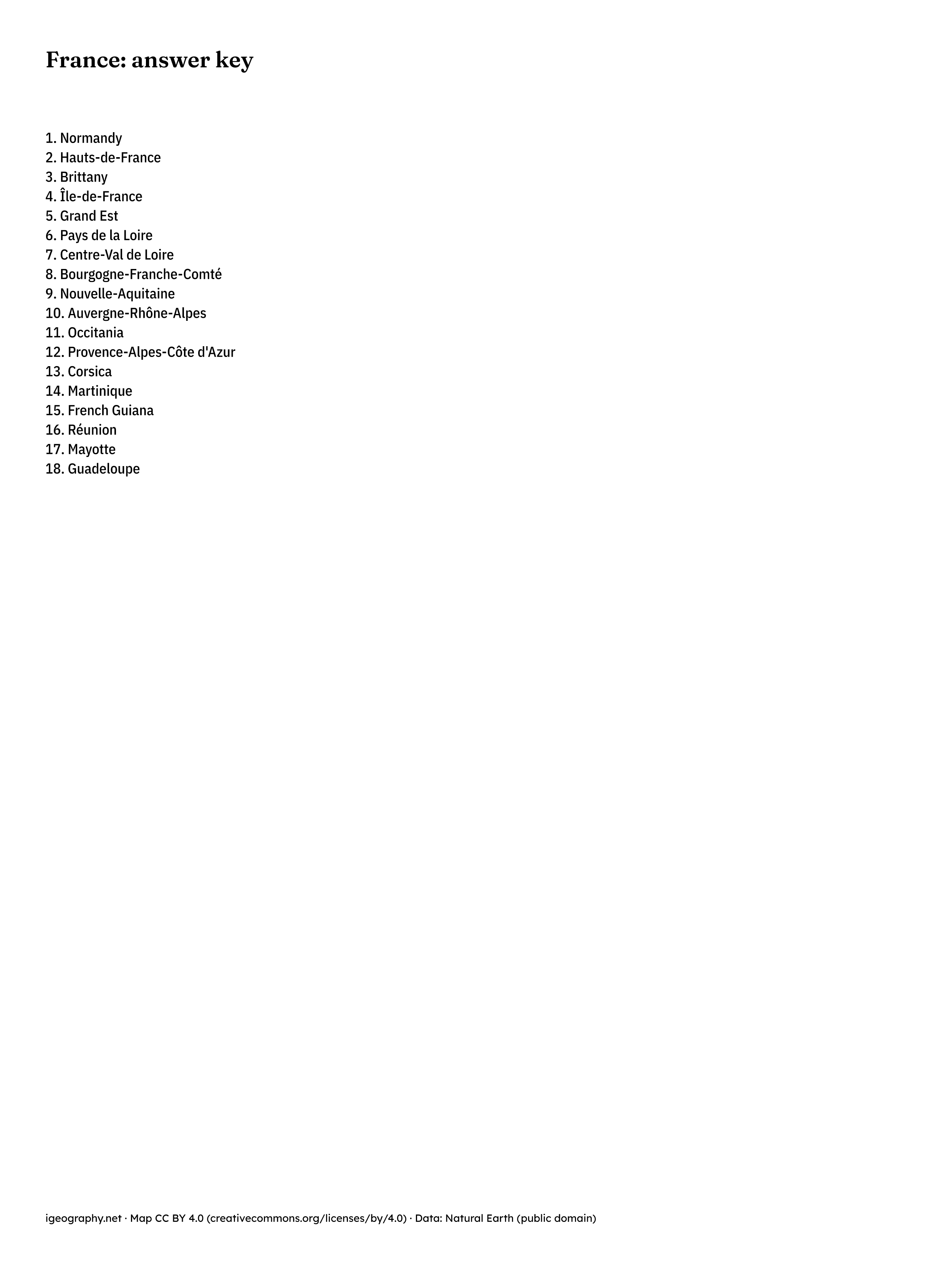
Four maps of France to print: a blank map with the borders of the 18 regions, an outline of the country, a labeled map, and a numbered map with an answer key on page 2.
The 18 regions are the 13 of metropolitan France, Corsica included, and the five overseas: Guadeloupe, Martinique, French Guiana, Réunion and Mayotte. Each overseas region is drawn in its own box below the mainland, at its own scale.
Areas outlined in grey are not on this map’s list, so they carry no name or number.
-
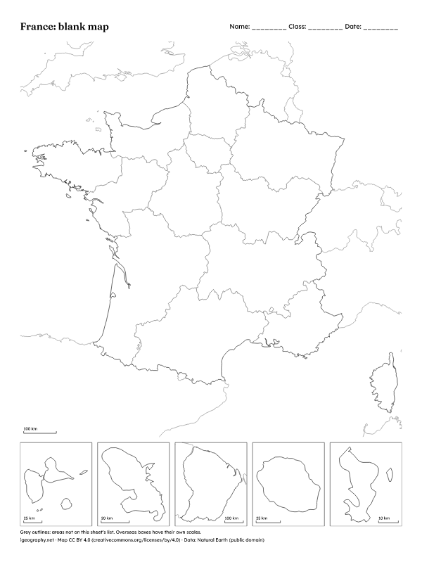
Blank map
Borders only, with a line for name, class and date.
-
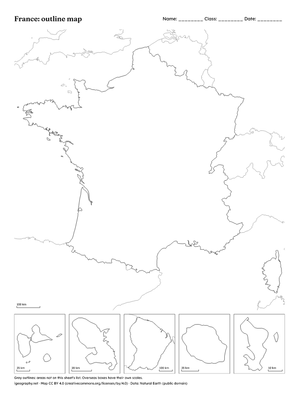
Outline map
The outline of the country and its neighbours, without internal borders.
-
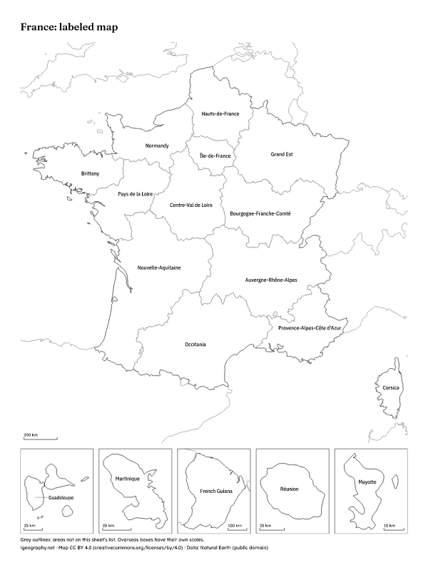
Labeled map
Every one of the regions named; the smallest with a line, or with a number listed beside the map.
-
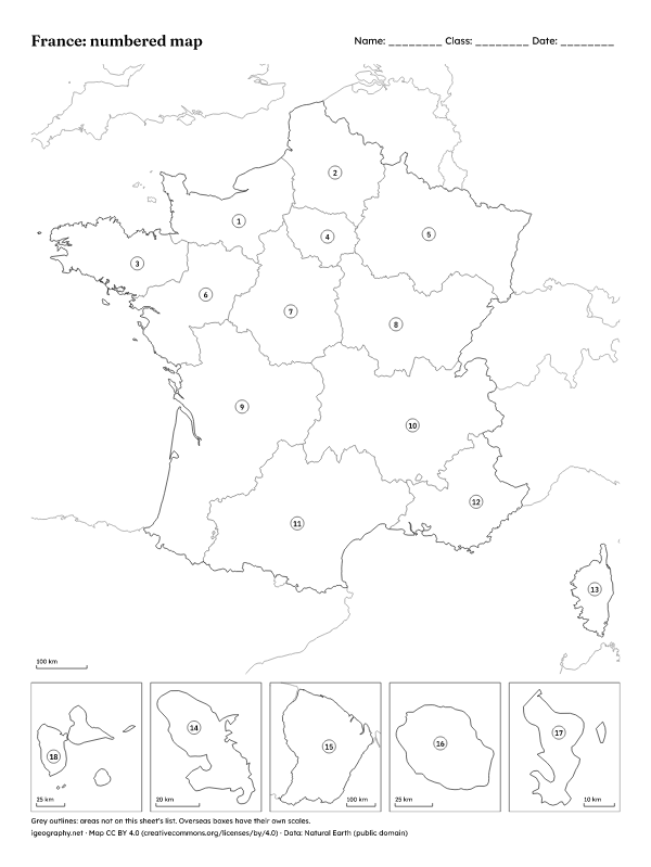
Numbered map and answer key
Numbers on the map. Page 2 is the answer key: print page 1 only for pupils.
Print the PDF at 100% or with “Fit to page”: every sheet keeps a margin for any printer. The PNG is a 300 dpi image of the same sheet, for screens, slides and quick printing.
The borders come from Natural Earth and, for the US states, from the US Census Bureau; both are in the public domain. Our sheets are free to use under CC BY 4.0: to print and copy them for class, keep the credit printed at the foot of each sheet. The fonts embedded in the PDFs are under the SIL Open Font License. CC BY 4.0