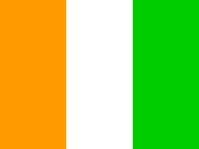
Ivory Coast: flag, map and capital
Africa · Capital: Yamoussoukro
Where is Ivory Coast?
Facts
Neighboring countries 6
5 land neighbors in this catalog
Selected cities5
- Abidjan: about 6,320,000
- Abobo: about 1,340,000
- Bouaké: about 832,000
- Korhogo: about 441,000
- Daloa: about 422,000
- Koumassi: about 412,000
- San-Pédro: about 391,000
- Yamoussoukro (capital): about 276,000
Play and explore
More countries: Africa
 Algeria
 Angola
 Benin
 Botswana
 Burkina Faso
 Burundi
 Cameroon
 Cape Verde
 Central African Republic
 Chad
 Comoros
 Democratic Republic of the Congo
 Djibouti
 Egypt
 Equatorial Guinea
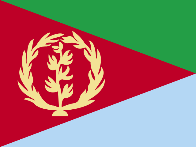 Eritrea
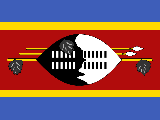 Eswatini
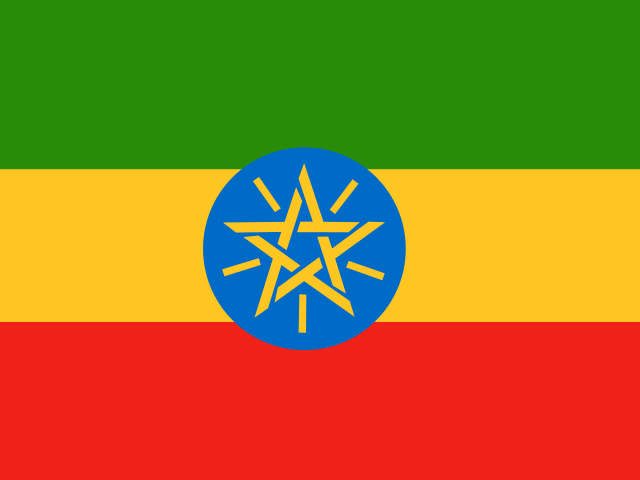 Ethiopia
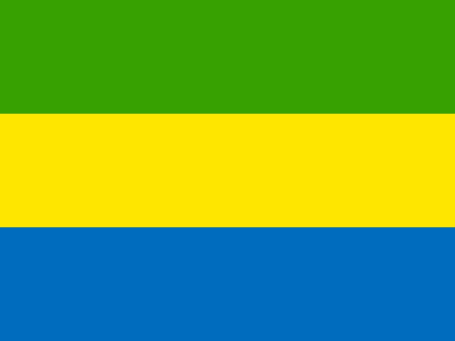 Gabon
 Gambia
 Ghana
 Guinea
 Guinea-Bissau
 Kenya
 Lesotho
 Liberia
 Libya
 Madagascar
 Malawi
 Mali
 Mauritania
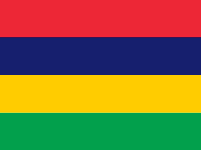 Mauritius
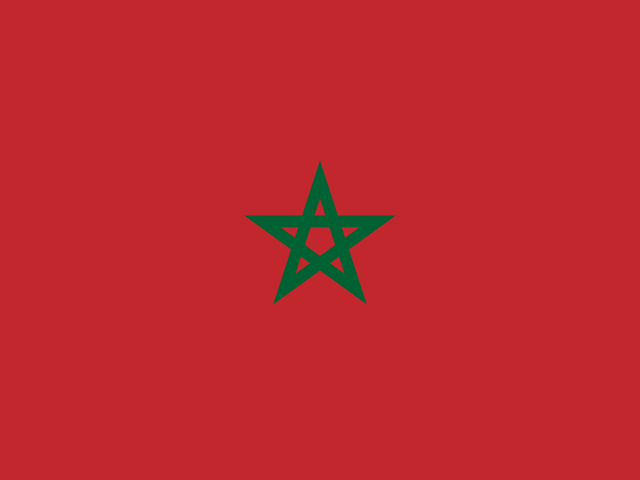 Morocco
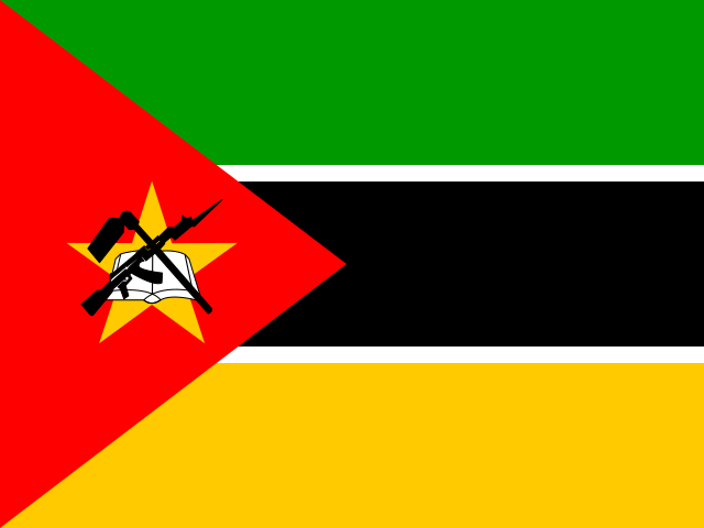 Mozambique
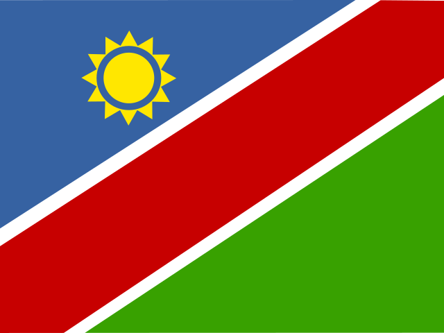 Namibia
 Niger
 Nigeria
 Republic of the Congo
 Rwanda
 São Tomé and Príncipe
 Senegal
 Seychelles
 Sierra Leone
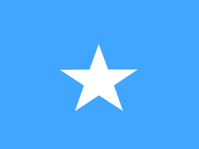 Somalia
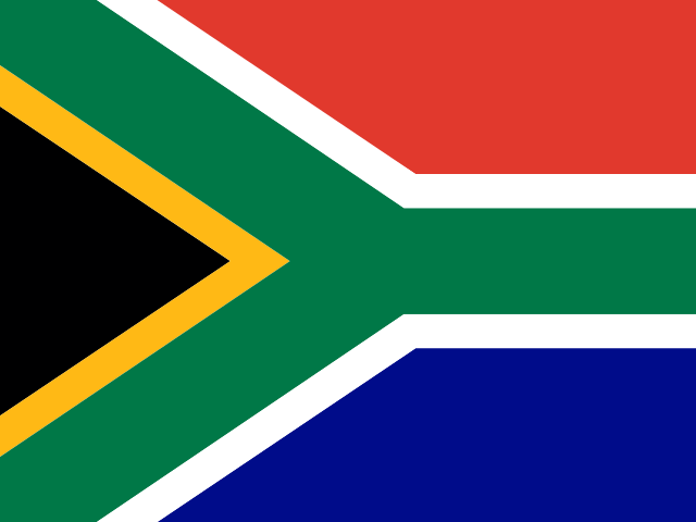 South Africa
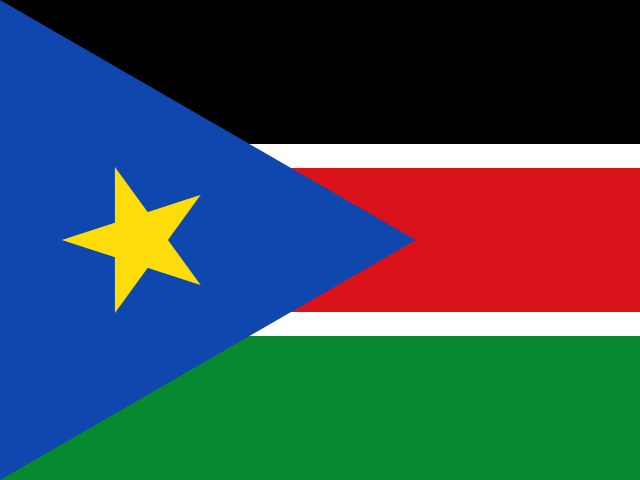 South Sudan
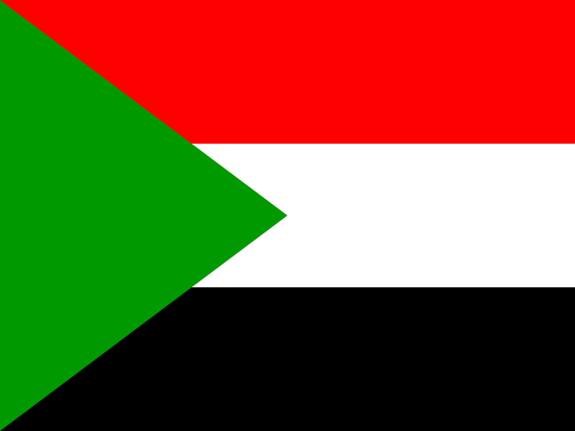 Sudan
 Tanzania
 Togo
 Tunisia
 Uganda
 Zambia
 Zimbabwe
Sources
- Population: United Nations, Department of Economic and Social Affairs, Population Division, World Population Prospects 2024, 2023 estimates. CC BY 3.0 IGO. Converted from thousands to persons by igeography.net. Retrieved 2026-10-28.
- Area: United Nations Statistics Division, UNdata country profiles, 2023. Retrieved 2026-10-28.
- Languages, currency, calling code, internet domain, driving side and highest point: Wikidata. CC0. Retrieved 2026-10-28.
- Names of languages and currencies: Unicode CLDR.
- Cities and their populations: GeoNames. CC BY 4.0. Populations are approximate and of different years. Retrieved 2026-10-14.
- Map and neighbors: Natural Earth (public domain), drawn and computed by igeography.net. Crimea is part of Ukraine. Retrieved 2026-10-14.
- Capitals: our curated list, checked against Wikidata. Retrieved 2026-10-14.