“Geography is the subject that holds the key to our future.” Michael Palin’s words highlight geography’s value and make us think about its deep history. From ancient people mapping stars to satellites mapping our earth, geography tells a captivating story. This story is filled with exploration, discoveries, and the growth of geographic theories. It makes me want to explore geography’s history, showing how each period’s events have helped us understand our world better.
The story of geography is tied to human progress. It goes from early theories in Mesopotamia to today’s tech that mixes physical and digital worlds. Looking at these key moments, I want to take you on a journey. We will look at the major moments in geographical exploration. These moments have shaped how we view space and increased our knowledge.
Key Takeaways
- The history of geography is as vast as the earth it studies, showing our everlasting curiosity.
- Cultural and scientific ideas have shaped the development of geographic theory through time.
- Geographical exploration has always been key to moving civilizations forward and understanding our surroundings.
- Geographic discoveries have included everything from making world maps to starting GIS technologies.
- Understanding geography’s history lets us see its current effect and how it may shape what’s next.
The Genesis of Geographical Understanding
The story of geographical understanding progression starts with early civilizations. These people wanted to better understand their lands. Mesopotamia shows how our geography knowledge began.
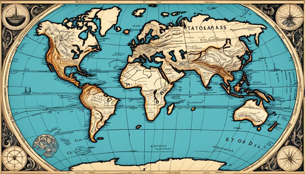
I love learning about the geography timeline. It’s fascinating how ancient maps led to our current understanding of geography. This blend of history and geography shows how humans have progressed over time. Ancient maps showed the way and paved the path for mapping planets and stars.
Here’s a quick look at how geography evolved:
- Our journey has been amazing, from Mesopotamia’s first maps on clay to today’s digital maps.
- In Ancient Egypt, stars and coastlines guided sailors, which shows the early use of the natural world for navigation.
- Greek philosophers and Roman mapmakers added science to geography, influencing us even now.
Historic events and landforms helped us build advanced societies. Here are key moments in geographical understanding:
| Epoch | Contributions | Significance |
|---|---|---|
| Ancient Mesopotamia | Earliest recorded maps | Groundwork for spatial representation |
| Ancient Greece | Philosophical foundations | The melding of physical space with human thought |
| Roman Empire | Expansion of geographic knowledge through conquests | Establishment of a geographically informed empire |
Studying geography has given me a deep respect for our quest for knowledge. This journey from simple maps for survival to analyzing our world’s complex patterns is inspiring.
Ancient Geography Developments: The Babylonian Worldview
The Babylonians left a big mark on ancient geography. They gave us the Imago Mundi, a clay tablet. This tablet shows how they made maps and saw their world. It’s a key piece in understanding early geography.
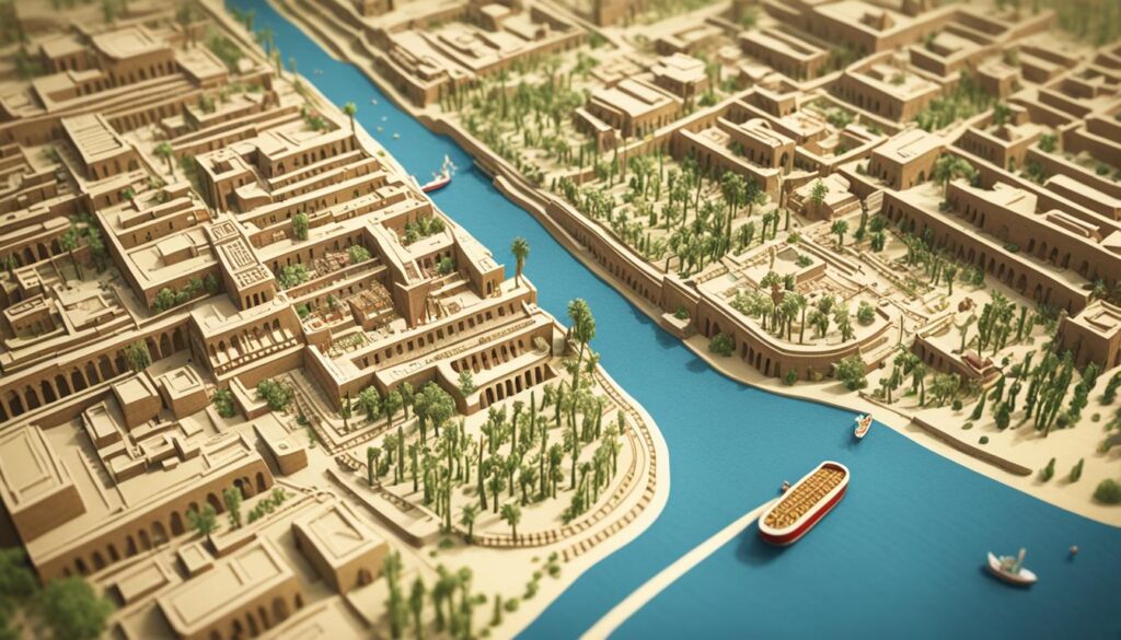
Babylonian Maps and the Imago Mundi
The Imago Mundi, made in the 9th century BC, shows Babylon’s map-making skills. It puts Babylon at the center of a circle surrounded by water. Even if it’s inaccurate by today’s standards, its attempt to map their world is hugely important.
9th Century BC Babylonian Geographical Notions
The Imago Mundi is more than a map. It reveals how Babylonians thought. From Babylon, they drew a vast land, bordered by a massive ocean. Beyond this ocean, they imagined mythical islands. This mix of real and symbolic shows their special way of seeing the world.
The Babylonians really wanted to grasp their world’s full scope. They faced many unknowns, but their work, like the Imago Mundi, still shapes our knowledge of geography today.
Greek Advances in Geographic Theory
The story of ancient geography shows how important the Greeks were in this field. They combined Homer’s geography with math to advance our knowledge. This mix of art and science led to Greek geographic discoveries.
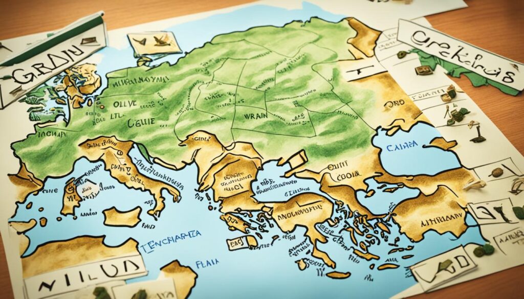
Homer’s Geographical Descriptions
Homer’s epics reveal the Greeks’ knowledge of the eastern Mediterranean. The “Iliad” and the “Odyssey” do more than tell stories; they offer geographic insights from the 8th century BC.
Philosophical Underpinnings by Thales and Anaximander
Thales and Anaximander didn’t rely on what they could see to think the world was round. Their deep thinking began the field of philosophical geography. They wanted to understand the cosmos through logic and thought.
Pythagoras and the Concept of a Spherical World
Pythagoras’ idea that the Earth is a sphere was groundbreaking. It challenged the flat Earth views and showed deep thinking in geography. He aimed to understand Earth’s shape in the universe.
The table below contrasts the old flat Earth view with Pythagoras’ spherical Earth theory:
| Geocentric Flat Earth Model | Pythagorean Spherical Earth Concept |
|---|---|
| Earth is at the universe’s center | Earth is a sphere rotating in space |
| The sun, moon, and stars revolve around Earth | Heavenly bodies move independently of Earth |
| The ends of the Earth are inhabitable | The concept of antipodes suggests habitability all around the globe |
| Exploration constrained by Earth’s edges | Exploration is possible in all directions |
Greek thinkers made amazing progress in geography. They described lands and laid the groundwork for Earth science, and their work still influences us today.
Hecataeus and Herodotus: Documenting the Known World
I am really drawn to the important work of Hecataeus and Herodotus in documenting the known world. They were great at geographic documentation, helping future geographers and creating a lasting legacy.
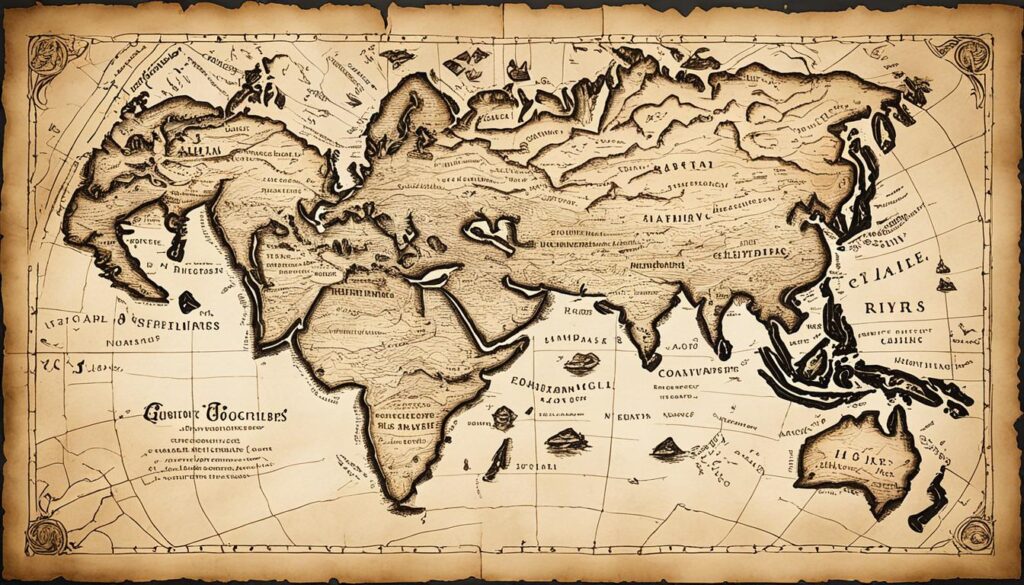
Hecataeus was known for his deep knowledge. He used stories from travelers and past works. He described far-off places with rich detail.
His writing showed the true spirit of exploring geography. He mapped human civilization’s reach at his time.
Herodotus is called the ‘Father of History.’ He explored the ancient world widely. His “Histories” cover from the Nile in Egypt to Persia’s markets.
It’s amazing how he included places like Scythia, India, and Africa. Some people questioned his stories, but they are still fascinating.
Indeed, it was through the lens of these scholars that our forebears viewed the corners of the earth—a mosaic of anecdotal threads woven into the rich tapestry that comprises our geographic and historical foundations.
The work of Hecataeus and Herodotus marked a big change in the way geographic knowledge was retained. They chose observation over legend. This changed how people understood the world back then and shaped our view of geography today.
The History of Geography: Unfolding the Hellenistic Insights
I am always amazed by Hellenistic insights. This era is known for its growth in geographic concepts. Explorers like Hanno the Navigator and Pytheas changed our geographic knowledge with their journeys.
I’m intrigued by how Hellenistic geographers thought about the Earth. They guessed its shape and size, mapped climatic zones, and expanded the map beyond the Mediterranean. This era shows our endless desire to know our world.
It is not down on any map; true places never are. – Herman Melville
The great Library of Alexandria was a key spot in this era. It held and shared the era’s geographic knowledge. The Hellenistic period’s insights were crucial for modern geography. Their mix of observation and theory pushed the study forward.
We should remember the Hellenistic thinkers who shaped geography:
- Strabo – he mapped the known world in great detail;
- Eratosthenes – he estimated the Earth’s circumference accurately;
- Hipparchus – he improved maps with latitude and longitude.
Next, let’s look at two key figures who changed geography concepts during this time:
| Hellenistic Figure | Main Contributions | Legacy |
|---|---|---|
| Eratosthenes | Calculated Earth’s circumference; Developed lines of latitude and longitude | Foundational quantitative approach to mapping |
| Hipparchus | Created the first known star catalog; Advocated for a systematic grid | Laid ground for astronomical geography and precise location plotting |
The Hellenistic insights left a mark like the stars guiding ancient sailors. This era shaped geography much like heroes in Homer’s tales. We owe much to these brilliant minds.
The Romans’ Expanding Geographic Horizons
The Romans had a big goal: to learn more about the world’s geography. Their efforts marked a key moment for geography and mapmaking, and their work helped create the field of geography as we know it today.
Eratosthenes’ Measurement of the Earth’s Circumference
Eratosthenes’ work is truly awe-inspiring. He tried to measure how big the Earth is using smart math. He looked at the sun’s position in different places to guess the Earth’s size. His guess was pretty close to what we know now. This started a new, more exact way of studying places.
The Ptolemaic Geographical Synthesis
The famous Ptolemaic geographical synthesis showed how much the Romans knew about the world. Ptolemy’s book, ‘Geographia,’ gathered all this knowledge. This work makes me think about how exploring new places can lead to great discoveries. It helped people understand the world better than ever before.
| Contributor | Discipline | Impact |
|---|---|---|
| Eratosthenes | Geography/Mathematics | Calculated Earth’s circumference, heralding quantitative geographic analysis |
| Claudius Ptolemy | Geography/Cartography | Authored ‘Geographia’, synthesizing geographic knowledge of the time |
This period was crucial for expanding the Romans’ view of the world. It was about more than just maps. It combined traveling, gathering facts, and using science in a new way. This desire to discover has pushed us to explore even further. It shows how the Romans’ love for exploration has lasted through history.
Arab Contributions to Geographic Knowledge
I’ve looked into how Arab geographic knowledge greatly helped global discovery. Without a doubt, Arab work in geography during the Islamic Golden Age pushed the field forward. Back then, Europe was not advancing much in this area. Important figures like Ibn Battuta and al-Idrisi have shown us the world in new ways. Their journeys and writings added much to what we knew about the Earth.
The Islamic empire linked East and West, creating a rich setting for Islamic geographical studies to flourish. This period saw a mix of vast regional understanding, real-world exploration, and respect for classical works. Thanks to this, the Arab world didn’t just keep geographic knowledge alive; they enriched it greatly.
“For in the lands of the Muslims, the sciences have been studied, geographic knowledge has been accumulated, the ordinances of past generations have been revered and built upon, enabling them to traverse the Earth in all directions…” – Ibn Battuta
Scholarly work of this era led to detailed maps and accounts, which show the vast contributions of Arab geographers. Each place mapped was more than just a spot on the earth. It was a meeting point for different cultures and new scientific understanding.
- In-depth navigation charts enhanced from Hellenistic knowledge.
- Accounts of distant cultures and ecosystems in North Africa, Asia, and beyond.
- The translation and enhancement of earlier geographic texts.
I’m fascinated by these scholars’ focus on more than just maps. They looked at the stories of cultures, economics, and ecosystems in each area. This broad approach to geography led to what we now see as an interdisciplinary study.
The dedication of Arab scholars to geography has given us so much. Their maps and travel writings have had a huge impact. This work tied into geographic science so well that it sparked new explorations during the Renaissance and later.
Medieval European Geography: A Time of Stagnation and Rediscovery
In medieval times, European geography was between stagnation and the urge to discover. I’ve been fascinated by this mix of stillness and curiosity. It shows how people back then handled geographic ideas and learning.
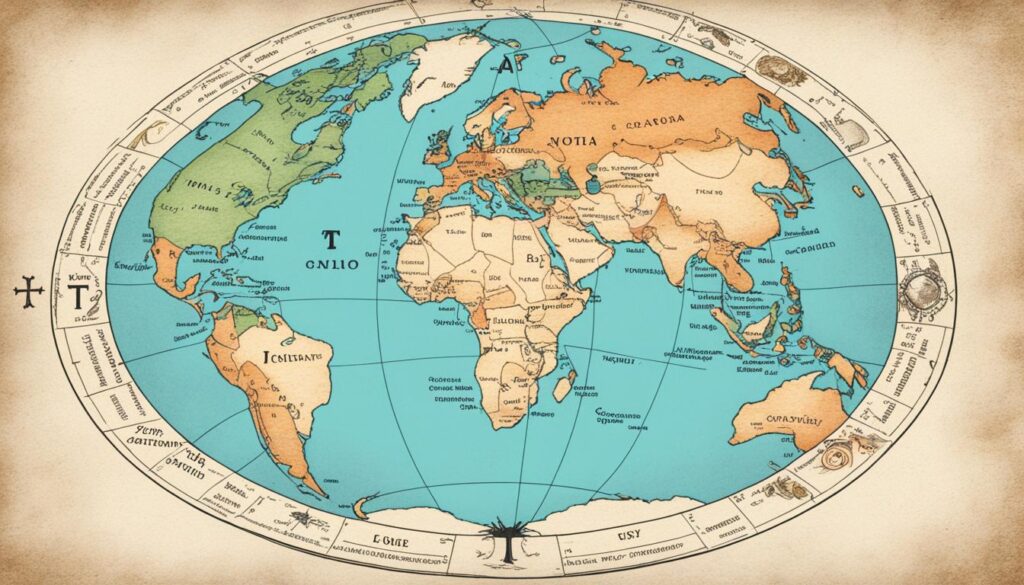
The main idea of the world then was the conception of the T and O map. It showed Earth’s three parts – Asia, Europe, and Africa – surrounded by water, shaped like a ‘T’. This simple map was based on religious views, showing the world in a Christian light. Yet, it sparked a desire to know more about the world, leading to the Age of Discovery.
As I keep studying, I see it wasn’t just the Arab world bringing back old Greek ideas that ended the old ways. It was also thanks to small yet important steps towards exploring, like sailing further – teasing the idea of rediscovery in medieval European geography. This era moved between falling back and waking up again. It tells a story of geography waiting patiently to make a comeback.
Maritime ventures beyond the known frontiers and the import of classical geographic texts via Arab traders contributed to a slow yet seismic shift in the geographical understanding of medieval Europe – a testament to the indomitable spirit of human curiosity.
Let’s compare the main traits of old map-making with the new changes hinting at a comeback:
| Medieval Geography | Emerging Rediscovery |
|---|---|
| T and O Maps | Revived Classical Texts |
| Religiously Constrained Worldviews | Arab Contributions to Geographic Knowledge |
| Locally Focused Cartography | Maritime Exploration Initiatives |
| Geocentric World Models | Developments towards a Heliocentric Perspective |
Reflecting on this intriguing history, I see the early signs of modern geography. Even during geographical stagnation, there was a spark of rediscovery. Medieval European thinkers were just waiting to explore more of the map. Our geographic history is about the land we’ve found and the knowledge journeys of those before us.
From Marco Polo to Mercator: Revival and Innovation in Geography
Marco Polo’s journey sparked a big change during the late medieval era. His adventures made Europeans very interested in the world’s distant places. This interest helped start a big change in geography and map-making during the Renaissance, adding much to exploration and learning.
The Impact of Marco Polo’s Journeys
Marco Polo traveled widely in Asia, connecting different cultures and sharing much geographic knowledge. His stories spread across Europe, making people eager to explore and learn about faraway lands. This added greatly to the study of geography.
Ptolemy’s Geographia and Renaissance Mapmaking
Getting Geographia back was like finding a treasure of geographic knowledge. This book showed a detailed way to map the world, which excited people about making better maps. This excitement helped bring back the science of map-making during the Renaissance.
Mercator came up with a map that changed everything. His Mercator Projection made it easier for sailors to find their way at sea. This new way of making maps was a big deal, and it’s still used today.
Charting the Advances: Mercator’s Impact on Map-Making
| Advancement | Prior Method | Mercator’s Innovation | Significance |
|---|---|---|---|
| Mercator Projection | Simple maps without scale | Representing lines of constant compass bearing | Improved maritime navigation |
| World Atlas | Regional maps | A comprehensive collection of maps | Standardized world perspective |
| Latitude and Longitude | Crude grid systems | Accurate global grid | Consistent global location referencing |
The story of Renaissance map-making is filled with big achievements. Each achievement was a huge leap forward for geography. This time, with its focus on making great maps, geography became an exciting field full of discovery and sharing.
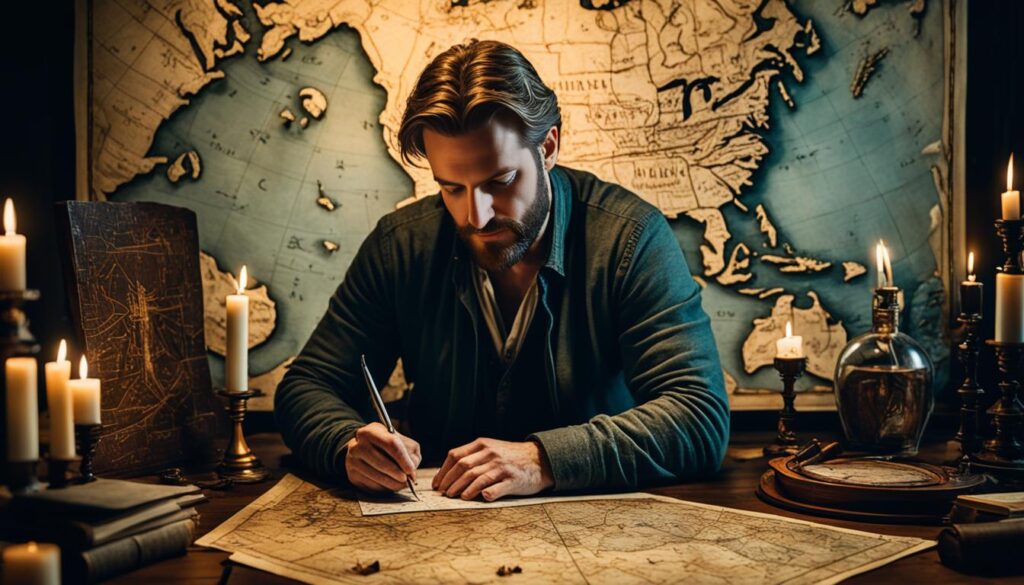
Thinking about these successes shows how important Marco Polo’s journey was. Without it, the push to know more about our world might have stuck in old ways. But with it, we see how curiosity and the drive to explore can change how we see our planet.
The Quantitative Revolution and Modern Geographic Understanding
The quantitative revolution was a major change that reshaped how we studied geography in the mid-20th century. It marked the start of using numbers and data to understand the Earth. This new approach moved geography beyond observations to precise measurements.
The key to this shift was the use of scientific methods and statistics in geography. These tools brought energy and accuracy to the field. I remember how these methods opened new doors in geographic research, showing us better patterns and connections in the world.
Geography, in the wake of the quantitative revolution, emerged not just as a means to map and describe the world but evolved into a science capable of predicting and modeling environmental and human processes.
This change in methods was deep, not just surface-level. It made us rethink old ideas and develop new theories about how humans and the environment interact. Using numbers and models helped us understand complex issues like population trends and how cities grow.
I’ve seen how tools like GIS and spatial analysis changed geography. They let us see geographic data in new ways. We can now study issues like city growth, climate change, and how resources are spread in detailed, number-based stories.
- Improved spatial analysis and modeling capabilities
- Enhanced understanding of geographic patterns and their determinants
- Integration of geography with other scientific disciplines through shared methodologies
The impact of the quantitative revolution goes beyond schools and labs. People working in city planning, environmental science, and making policies use what we learned to make smart decisions. This shows how geography remains important and flexible, ready to adapt to new challenges.
Milestones in Cartography: Advancing the Geographer’s Art
Exploring cartography history shows us how much the advancing geographer’s art has grown. This growth is thanks to key milestones in cartography. Maps have evolved from ancient scrolls to digital screens. This journey has been as diverse as it has been long.
Let’s explore a timeline highlighting crucial advances in map-making. It’s a story of centuries filled with human creativity and the desire to know more:
| Epoch | Innovation | Impact |
|---|---|---|
| Ancient Civilizations | Creation of the scale map | Provided a reference for distance and geography |
| 16th Century | Mercator’s Projection | Fostered accurate marine navigation |
| 20th Century | Introduction of Digital Mapping | Enabled real-time data analysis and visualization |
These key moments have greatly helped in advancing the geographer’s art. They let us uncover details about our world’s surface, both real and symbolic. As we keep charting our changing planet, these advancements in mapping remind us of our journey to understanding the earth’s vast geography.
The jump from drawing maps by hand to using satellites changed everything. It turned map-making from an art into a science. Yet, the main aim stayed the same. It’s about capturing our place in the world and discovering new paths, whether through a pen or a computer.
Our interest in maps is about more than their use. They’re beautiful, capturing our adventures, discoveries, and the borders we’ve crossed—or plan to. Looking forward, new tech promises to push cartography history further, taking the geographer’s art into new realms once only dreamed of.
Environmental Determinism and Regional Geography: Shaping World Views
As a student of the Earth’s intricacies, I’ve often marveled at how environmental determinism and regional geography shape our views. It’s captivating how the idea of environmental determinism suggests that the land directly shapes societies. This concept shows that mountains, deserts, and temperate zones influence human development.
Imagine standing on a bustling city street or in a peaceful rural area. Regional geography teaches us about the unique cultures, economies, and natural features of both places. This specificity gives every place its unique identity. Understanding different regions helps us see the beauty in the world’s diversity.
Let’s explore these geographic ideas. Environmental determinism has greatly influenced historical views on civilization and societal abilities. Meanwhile, studying regional geography invites us to discover what makes each region unique. We examine its climate and topography and how they mix with human activity.
Combining these perspectives sheds light on shaping world views. They spark discussion on development, overcoming environmental challenges, and paths to economic growth. I’ll share how these ideas have enhanced our global understanding:
- Environmental determinism highlights the natural environment’s role in human life, including where we live, work, and social systems.
- Regional geography encourages us to explore and value each place’s uniqueness, enriching our view of the world’s diversity.
- Together, these fields help us understand the role of geography in human development.
In my study of geography, I’ve found these ideas relevant not only in history but also in today’s discussions on sustainability and cultural evolution. As students of geography and global citizens, we must use these insights to form respectful, informed views. We acknowledge the environment’s influence and the rich diversity of the world’s regions.
Influential Figures and Key Figures in Geography History
As we explore the history of geography, certain pioneers stand out. They blazed trails that expanded our world knowledge. Figures like Alexander von Humboldt, Carl Ritter, and William Morris Davis left a lasting mark on our understanding.
The Indelible Mark of Alexander von Humboldt
Alexander von Humboldt’s work was groundbreaking. His “Kosmos” introduced a new way to study geography, linking different aspects of nature. Humboldt’s ideas influenced many scholars and set a standard for studying Earth’s physical and biological components.
The Pioneering Efforts of Carl Ritter and William Morris Davis
Carl Ritter and William Morris Davis followed in Humboldt’s footsteps. Ritter is the father of modern geography, bringing a systematic approach to the field. On the other hand, Davis made significant strides in geomorphology, exploring how landscapes are formed.
“Geography is a kind of bridge between the phenomena of the physical and the spiritual worlds.” – Alexander von Humboldt
The work of these key figures in geography is foundational. Their contributions laid the groundwork for modern geographic thought. Thanks to them, we understand more about our planet’s geography, cultural diversity, and environmental links.
Let’s compare some of their key contributions:
| Figure | Main Contributions | Legacy |
|---|---|---|
| Alexander von Humboldt | “Kosmos” a holistic approach to geography | Integrated view of natural sciences & geography |
| Carl Ritter | Founder of modern geographic science | Advanced methodical and thematic geography in academics |
| William Morris Davis | Established the science of geomorphology | Elucidated landform development and categorization |
Today, I view the world through the lessons learned from these legends. They helped me see the connections in our world, and thanks to them, I understand the complex stories of our planet’s geography.
The Evolution of Geospatial Technology
The evolution of geospatial technology has changed how we see and interact with our world. The move from simple map-making to advanced tools like GIS and remote sensing is striking. These advancements have not just helped geographers. They have also changed many industries by giving them detailed geographic information.
Looking at the geographical techniques evolution, it’s amazing how old methods led to new technologies. Tools for measuring land have become advanced tools for analyzing spaces. These can now track environmental shifts and plan cities better.
| Historical Period | Geospatial Technologies | Impact on Geography |
|---|---|---|
| Pre-20th Century | Compass, sextant, mechanical distance measurements | Foundational mapping techniques and understanding of the world’s geography |
| Early 20th Century | Aerial photography, topographic maps | Improved accuracy of maps and introduction of perspective views |
| Late 20th Century | GIS, GPS technology | Digitization and layering of spatial information, real-time tracking, and navigation |
| 21st Century | Satellite imagery, drone reconnaissance, real-time data integration | Advanced analysis, environmental monitoring, disaster management |
The development of geospatial technology still excites me. I look forward to seeing its impact on urban planning and environmental care. It also helps individuals and communities make better decisions with greater knowledge of their surroundings.
Final Thoughts
Our journey through geography’s history shows how it helps us understand our world. Geography has always been key in human progress. It has helped us learn more about the Earth and think in new ways. As we look back from ancient times to now, the growth of geography is important. It helps us know more about our natural world and where we fit in.
History is full of stories about people’s curiosity and their discoveries. Ancient Greek thinkers first started questioning their world. Now, researchers use technology to tackle tough questions. Thanks to them, we understand much more about how things work. This knowledge is vital as we face problems like climate change, city growth, and managing resources. Geography isn’t just for scholars; it’s necessary for finding ways to live better.
Today’s global issues require many different skills and knowledge to be solved. Geography’s importance remains strong. We use what we’ve learned from the past and add new methods. I look forward to seeing how geography will continue to evolve. Every discovery in geography helps us make a better future. It’s about more than just maps. It’s about creating a future where we deeply respect and understand our planet.
